Homes and frontages in Marton
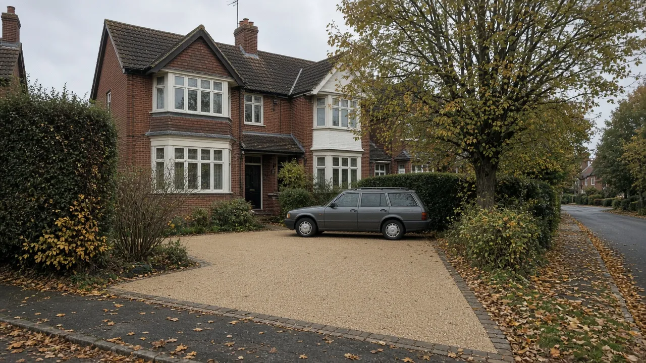
Marton is split between two council wards, and the 2021 Census shows how different they are. Marton West, with 2,306 households, is 59% detached and 34% semi-detached, 86% owner-occupied, and 49% of households have two or more cars or vans. Marton East, with 2,620 households, is 50% semi-detached and 30% detached, with 14% flats, 78% owner-occupied and 41% with two or more vehicles. Very few homes in either ward are terraced.
The main roads are Stokesley Road (the A172), Ladgate Lane, Marton Road and Gunnergate Lane, with Dixons Bank climbing south towards Nunthorpe. Around the edge of the old village you find The Grove, St Cuthbert's Church, the Rudds Arms and a few rows of cottages. Most of the rest is post-war and later private housing on avenues and closes, often with lawns running down to the pavement.
What that means for a drive:
- Two-car and three-car frontages are common. With so many households owning two or more vehicles, the usual brief is to pave most of a front garden while keeping enough planting to soften it.
- Long, gently sloping drives to detached houses and garages need edge restraint and proper falls, not just a new surface.
- Older tarmac and concrete laid when the houses were built may be breaking up at the edges. Whether it can be overlaid or needs digging out depends on what is underneath.
- Mature trees in front gardens and on verges can limit how deep you dig near the roots.
Ground conditions and flood risk around the becks
The British Geological Survey maps Marton on till, the stiff, stony clay left by glaciers, over Mercia Mudstone bedrock. Till holds water and drains slowly. A soakaway has to be sized for clay, and in many Marton gardens a permeable surface needs a deeper open-graded stone base, or an overflow to a drain, before it works in heavy rain.
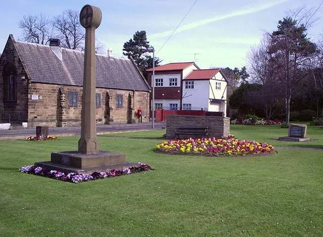
Marton West Beck runs through Stewart Park and the Fairy Dell, and Newham Beck lies to the south-west. The Environment Agency's flood map shows Flood Zone 2 and 3 land within about 300 metres of central Marton along these watercourses. For homes near the beck corridors:
| Check | Why it matters in Marton |
|---|---|
| Flood map for your postcode | Shows whether the house itself is in Zone 2 or 3 |
| Surface-water risk | Low spots in clay gardens can pond after storms |
| Falls away from the house | Keeps water off doorsteps and air bricks |
| Where the water ends up | A border, soakaway or drain, not the road |
Planning, conservation and the crossing licence
Marton Village and The Grove Conservation Area was designated in 2005 and covers the historic core around the green, St Cuthbert's Church and The Grove. Inside it, removing walls, hedges or trees at the front, or paving a large green frontage, deserves a conversation with Middlesbrough Council's planners before work starts. Trees in a conservation area are protected, so you must give the council six weeks' notice before cutting down or significantly pruning most trees.
Elsewhere in Marton, normal householder rules apply. Since October 2008, more than five square metres of new hard surface in a front garden needs planning permission unless it is permeable or drains to a lawn, border or soakaway. On big Marton frontages that line is easy to cross, so choose a permeable surface or plan the drainage at the start.
Crossing the pavement or verge. Middlesbrough Council needs a vehicle pavement crossing licence before any new or widened crossing is built. For 2026/27 the council charges £25.50 to assess a request and £173.40 for the licence. The contractor must hold £5 million public liability cover and maintain the crossing for two years. Wide verges on some Marton roads mean a longer crossing, so the highway works can cost more than you might expect. More on our dropped kerbs page.
What a Marton driveway costs
Checkatrade's April 2026 UK guide gives average installed prices of about £60 per m² for gravel, £90 for tarmac, £100 for block paving and £120 for resin bound. Marton drives are often larger than average, so a few examples help:
- A semi widened to fit two cars side by side, around 35m²: roughly £2,100 to £4,200.
- A detached house with a drive to the garage and a turning area, around 70m²: roughly £4,200 to £8,400.
These are national averages applied to an area, not a quote. Digging out old concrete, building up a sloping site, adding channel drains or a soakaway in the till, and verge crossings all add to them. Larger areas can bring the price per square metre down, because set-up costs are spread further.
On a wide frontage, the choice of material shapes the street view. Block paving with a border can break up a large area. Resin bound is permeable when laid on the correct base. Gravel with a grid is the cheapest permeable option, but it needs edging so stones do not spread onto the footway.
Nearby areas
- Nunthorpe: further south on the A172, with even more detached housing and part of it under Redcar and Cleveland Council.
- Park End: just north across Ladgate Lane, mostly smaller semis and terraces where the questions are about narrow frontages.
- Coulby Newham: to the south-west, built from the 1970s, with open-plan estate frontages.
The full list is on our areas page. For an older drive that only needs work, see driveway repairs.
Questions people ask in Marton
Do I need permission for a driveway near Marton Village green?
The green, St Cuthbert's Church and The Grove are inside the Marton Village and The Grove Conservation Area, designated in 2005. Paving a front garden there may still fall under normal rules, but taking out walls, hedges or trees is more sensitive. Check with Middlesbrough Council's planning team before committing.
Can I pave my whole front lawn in Marton?
Yes, if it is permeable or drains to a border or soakaway on your land. If more than five square metres drains onto the road, you need planning permission. Marton sits on slow-draining till, so a permeable drive should be designed for that ground, sometimes with an overflow.
Are homes near Stewart Park at risk of flooding?
Marton West Beck runs through Stewart Park and the Environment Agency maps Flood Zone 2 and 3 land along it. Most houses are outside those zones, but check your postcode on the flood map and make sure a new drive falls away from the house.
How much does a double drive cost in Marton?
Using Checkatrade's April 2026 UK averages, 35m² comes to roughly £2,100 for gravel up to £4,200 for resin bound, before extras. A widened crossing adds Middlesbrough Council's £25.50 assessment and £173.40 licence fees plus the kerb works.
Sources: ONS Census 2021, Marton East and Marton West wards (TS044, TS045, TS054 via Nomis); BGS Geology Viewer, 1:50,000; Environment Agency flood map for planning; planning.data.gov.uk: Marton Village and The Grove Conservation Area; Middlesbrough Council: vehicle pavement crossing licence; Middlesbrough Council fees and charges 2026/27; GOV.UK: paving your front garden; Checkatrade driveway cost guide (April 2026); Wikipedia: Marton, Middlesbrough.