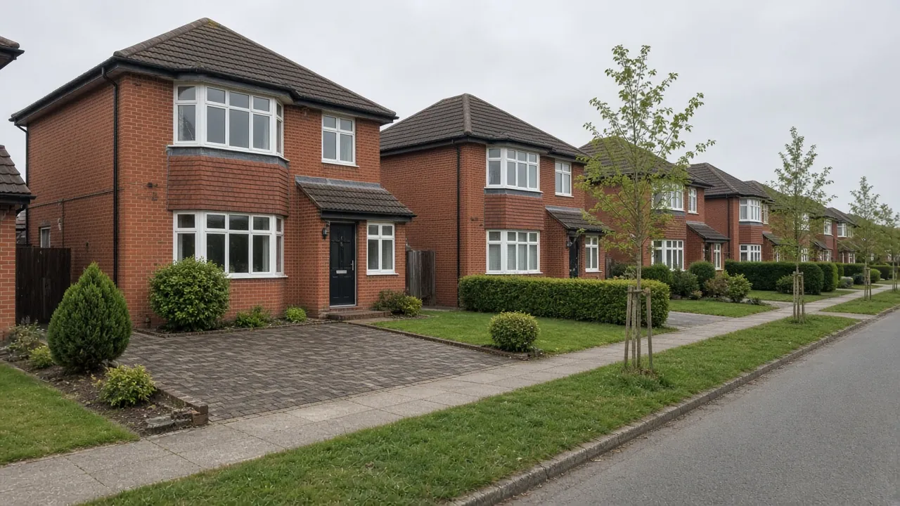
Kader's semis and what owners want from a drive
The Kader ward had 2,206 households at the 2021 Census. Its housing is unusually uniform: 82% semi-detached, 11% detached, 6% flats and only 1% terraced. About 85% of households owned their home, and 56% owned it outright. Car ownership is moderate, with 38% of households running two or more cars or vans and 18% none.
The streets are long avenues and drives, laid out in a regular pattern. Kader Farm Road runs through the middle, with Birtley Avenue, Throckley Avenue, Staindrop Drive, Cotherstone Drive and Sedgefield Road around it. Many street names match County Durham and Northumberland villages. Acklam Road runs along the eastern side, and the ward includes Kader Academy, Acklam Whin Primary School and Acklam Grange School, which add to school-run traffic at certain times of day.
On a typical Kader semi there is a front garden with a low wall or hedge, and a single drive down the side of the house to a garage or gate. Typical requests are:
- Widening the drive across part of the front lawn so two cars can park side by side.
- Replacing original concrete or tarmac that has cracked or sunk.
- Extending the drive further back to reach a garage or a side gate for a caravan or trailer.
- Tidying the front wall and gateway so the entrance suits modern cars.
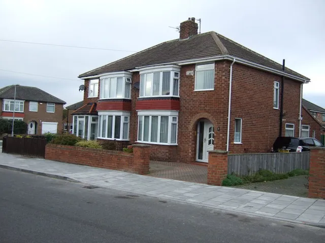
Sandy ground, clay below and the beck
Kader's ground differs from much of south Middlesbrough. The British Geological Survey maps it on glaciolacustrine deposits, sediments laid down in a glacial lake, which at Kader are mostly sand, over Mercia Mudstone. Sandier ground drains better than the till further south, which can help a permeable drive or soakaway work. But the deposits vary over short distances, with clay and silt layers in places, so a quick dig or soakage test before deciding on drainage is worth it.
The Blue Bell Beck runs along the south of the ward. The Environment Agency's flood map shows a small amount of Flood Zone 2 and 3 land within 300 metres of the centre, along the beck. Most Kader homes are well outside it, but check your postcode if you are near the stream.
Planning and the dropped kerb in Kader
There is no conservation area or Article 4 Direction in Kader. The nearest conservation area is around Acklam Hall, to the east. That means normal householder permitted development rules apply to houses:
- Permeable or self-draining surfaces in a front garden do not need planning permission.
- More than five square metres of non-permeable surface draining onto the road does need it, under the rule in force since October 2008.
- Flats do not have permitted development rights, so any new hard surface needs permission.
Widening the kerb. Middlesbrough Council requires a vehicle pavement crossing licence before work starts on any new or wider crossing. The 2026/27 fees are £25.50 for the assessment and £173.40 for the licence, a total of £198.90. The work has to follow the council's highway specification, and the contractor must hold £5 million public liability insurance and maintain the crossing for two years. Kader's avenues often have grass verges, and a verge crossing adds to the highway works. More on our dropped kerbs page.
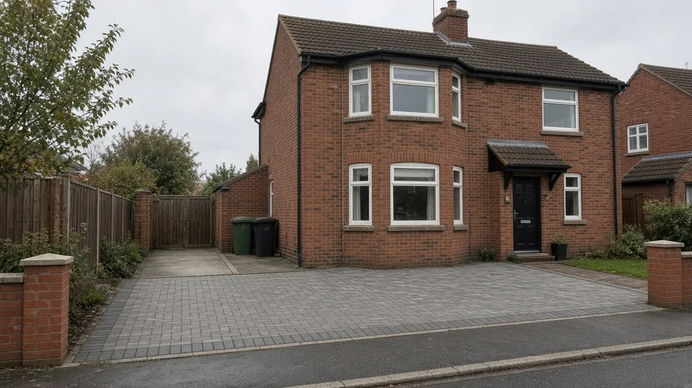
Worked costs for a Kader semi
Checkatrade's April 2026 cost guide lists UK averages of about £60 per m² for gravel, £90 for tarmac, £100 for block paving and £120 for resin bound. For a typical Kader semi:
| Job | Approx. area | Gravel | Block paving | Resin bound |
|---|---|---|---|---|
| Widen side drive to a double | 18m² new | £1,080 | £1,800 | £2,160 |
| Replace drive and front garden | 40m² | £2,400 | £4,000 | £4,800 |
Tarmac sits between gravel and block paving at about £90 per m². These figures are averages multiplied by an area, not a quote. Removing concrete, soakaway or channel drainage, wall alterations and the crossing all add to them.
If you are matching an existing drive, our widening guide covers the options. Resin bound over a well-drained base suits Kader's sandier ground, and block paving remains the most flexible choice for a semi's front.
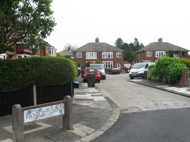
Nearby areas
- Brookfield: the southern part of the same ward, with cul-de-sacs, wedge-shaped plots and clay ground.
- Acklam: to the east, with older semis, wider frontages on main roads and the Acklam Hall conservation area.
- Linthorpe: further north-east, Victorian and Edwardian streets with an Article 4 Direction and shallow front yards.
All the places we cover are on the areas page.
Questions people ask in Kader
Can I widen my drive in Kader without planning permission?
Usually, on a house, if the new surface is permeable or drains to your lawn or a soakaway. Kader has no conservation area or Article 4 Direction. You will still need Middlesbrough Council's crossing licence for a wider dropped kerb, costing £198.90 in fees for 2026/27.
Does Kader's sandy ground help with drainage?
Often, yes. The British Geological Survey maps much of Kader on sandy glacial lake deposits, which drain better than the clay elsewhere in south Middlesbrough. They vary, though, with clay layers in places, so test before relying on a soakaway.
How much does it cost to make a single drive double in Kader?
At Checkatrade's April 2026 UK averages, adding about 18m² costs roughly £1,080 in gravel, £1,800 in block paving or £2,160 in resin bound, before removing old surfaces, drainage and kerb work.
Will the council approve a wider dropped kerb on my avenue?
The council assesses each request, looking at safety, visibility, trees and street furniture in the verge, and whether a car can park clear of the footway. There is no guarantee of approval, so get the licence before booking any work. The assessment costs £25.50.
Sources: ONS Census 2021, Kader ward (TS044, TS045, TS054 via Nomis); postcodes.io (ONS Postcode Directory): TS5 8NP, Kader ward; BGS Geology Viewer, 1:50,000; Environment Agency flood map for planning; OpenStreetMap (road, school and landmark names); Middlesbrough Council: vehicle pavement crossing licence; Middlesbrough Council fees and charges 2026/27; Checkatrade driveway cost guide (April 2026).